
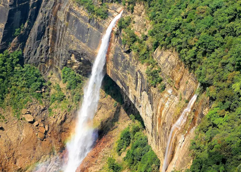
Two neighbouring villages in the hills of Meghalaya, north-east India, compete for the title of wettest place on Earth: Mawsynram and Cherrapunji (Sohra). Both sit on the southern edge of the Khasi Hills, where monsoon clouds from the Bay of Bengal hit the slopes and drop almost all their rain. Here are the numbers, how they compare with Hawaii and Colombia, and what it is actually like to visit.
Quick answer
Mawsynram in Meghalaya, India, is usually named the wettest place on Earth, with an average of roughly 11,800 mm (about 465 inches) of rain a year; Guinness World Records lists it as the wettest place by average annual rainfall. Nearby Cherrapunji (Sohra), 15 km away, holds the records for the most rain in a single year (about 26,460 mm, 1860–61) and in a single month (about 9,300 mm, July 1861). Lloró in Colombia and Mount Waiʻaleʻale in Hawaii are close rivals, depending on how and where rain is measured. Mawsynram is about 60 km (1.5–2 hours) from Shillong; visit June–August to feel the rain, or October–April for views.
Ask Sia about The Wettest Place on Earth
Prices, plans and local tips from our Shillong team. Replies in seconds.
At a glance
Key facts at a glance
| Wettest by average | Mawsynram, ~11,800 mm (~465 in) a year |
|---|---|
| Most rain in one year | Cherrapunji, ~26,460 mm (Aug 1860 – Jul 1861) |
| Most rain in one month | Cherrapunji, ~9,300 mm (July 1861) |
| Rivals | Lloró (Colombia), Mt Waiʻaleʻale (Kauai, Hawaii) |
| Where | Khasi Hills, Meghalaya, north-east India |
| From Shillong | Mawsynram 60 km (2 – 2.5 hours); Cherrapunji 54 km |
| Rainiest months | June – August |
| Driest months | December – February |
Why it rains so much here
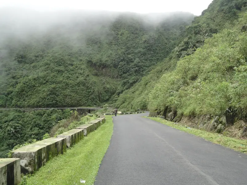
From June to September the south-west monsoon pushes moist air north across the plains of Bangladesh, which are almost at sea level. The first thing it hits is the steep southern wall of the Khasi Hills, rising more than 1,000 metres in a few kilometres. The air is forced up, cools and dumps its water on the villages along the edge, Mawsynram and Cherrapunji among them. A few kilometres further north, Shillong gets a fraction of the rain.
Mawsynram vs Cherrapunji vs Hawaii and Colombia
Which place is "wettest" depends on the measure and on the gauge. Rain records in remote places are patchy, and averages shift with the years counted, so treat the figures below as approximate.
| Place | Country | Claim | Approx. rainfall |
|---|---|---|---|
| Mawsynram | India | Wettest by average (Guinness) | ~11,800 mm / ~465 in a year |
| Cherrapunji (Sohra) | India | Most rain in a year and in a month | ~11,000+ mm average; 26,460 mm in 1860–61 |
| Lloró | Colombia | Often cited as higher, from local estimates | ~12,000–13,000 mm a year (estimated) |
| Mt Waiʻaleʻale | USA (Kauai) | One of the wettest spots in the US | ~9,500–11,500 mm a year |
Visiting Mawsynram
Mawsynram is a village, not a resort town, and most visitors come on a day trip from Shillong (60 km, 2 – 2.5 hours). The main sight is Mawjymbuin Cave, known for a large natural stalagmite shaped like a Shiva lingam; nearby are views over the plains of Bangladesh on a clear day. Combine it with Cherrapunji's waterfalls only if you start early, because the roads are winding.
A private car with driver for the day starts from ₹4,560 (fuel, tolls and driver included).
Visiting Cherrapunji (Sohra)
Cherrapunji has more to see: Nohkalikai Falls (one of India's tallest plunge waterfalls), Seven Sisters Falls, Mawsmai Cave and the trail down to the Double Decker living root bridge at Nongriat. Two nights here is ideal; a day trip from Shillong also works.
When to go: rain or views?
To experience the rain, come June to August: waterfalls are at full power and clouds roll through the villages, but views can vanish for hours, roads are slow and treks are slippery. For clear views, dry trails and the best photos, come October to April. Ironically, in the dry winter months Cherrapunji can be short of drinking water, because the rain runs straight off the bare hills.
Getting there
Fly to Guwahati (GAU), usually via Delhi or Kolkata, then drive 100 km (62 miles) to Shillong in 3 – 3.5 hours. Meghalaya needs no special permit for foreign visitors, only a valid Indian visa. Most travellers base themselves in Shillong or Cherrapunji with a car and local driver.
Good to know
Frequently asked questions
What is the wettest place on Earth?
Mawsynram, in Meghalaya, north-east India, is usually named the wettest place on Earth by average annual rainfall, about 11,800 mm (465 inches). Nearby Cherrapunji holds the records for the most rain in a single year and a single month.
Is Cherrapunji or Mawsynram wetter?
On long-term average, Mawsynram is slightly wetter. Cherrapunji holds the single-year record (about 26,460 mm in 1860–61) and the single-month record (about 9,300 mm in July 1861). They are only about 15 km apart.
Can you visit Mawsynram?
Yes. It is a village about 60 km (1.5–2 hours) from Shillong, usually visited on a day trip for Mawjymbuin Cave and the views. There are only a few simple places to stay.
When does it rain most in Mawsynram?
June to August, during the south-west monsoon. December to February is the driest period.
Is the wettest place on Earth in Hawaii?
Mount Waiʻaleʻale on Kauai is one of the wettest places in the United States, but Mawsynram and Cherrapunji in India record more rain on average. Lloró in Colombia is sometimes cited as higher, based on local estimates.
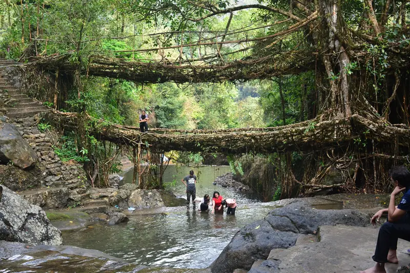 Up nextLiving Root Bridges of Meghalaya: Where They Are and How to See ThemThe other reason people come to these hills: bridges grown from tree roots.Read next (7 min)
Keep reading
Related guides
Local operator
Plan & book your trip
Tour Meghalaya runs private cabs and tour packages across Meghalaya. Book directly with a local operator.